
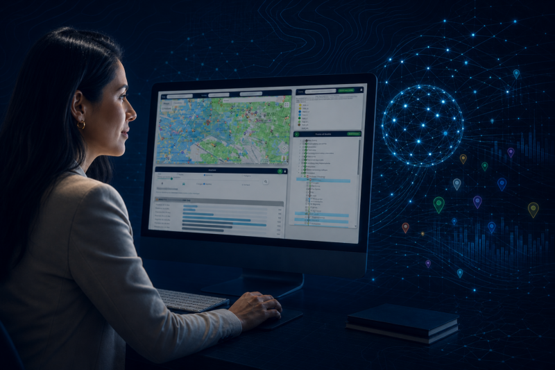
Work with geographic intelligence without the complexity
MktCompass is designed for GIS professionals and for anyone who needs to analyze markets and territories without mastering complex geographic software. From any browser, you can explore cities and regions, visualize data, identify businesses, and analyze specific areas.
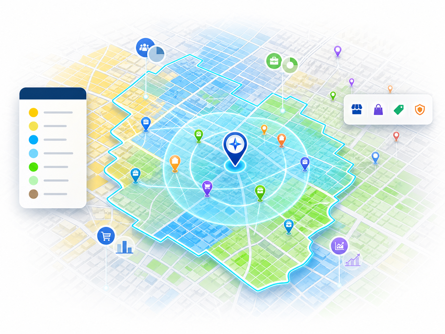
Visualize data on the map
Turn statistics into maps that are easy to interpret: population, socioeconomic level, employment, commercial activity, consumer spending, and many other indicators. You can also locate businesses by sector, industry, sub-industry, or brand to better understand competition, traffic generators, and the commercial structure of each area.
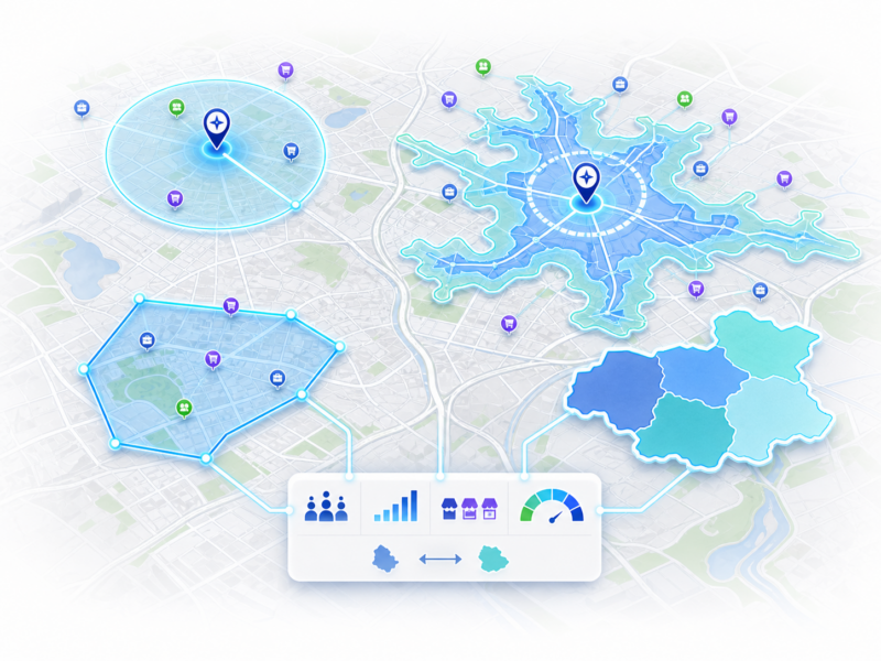
Analyze different types of areas
Study areas defined by radii, isochrones, custom polygons, or groups of municipalities and counties. Learn their demographic, economic, and commercial characteristics, compare territories, establish context, and size the potential market around a location.
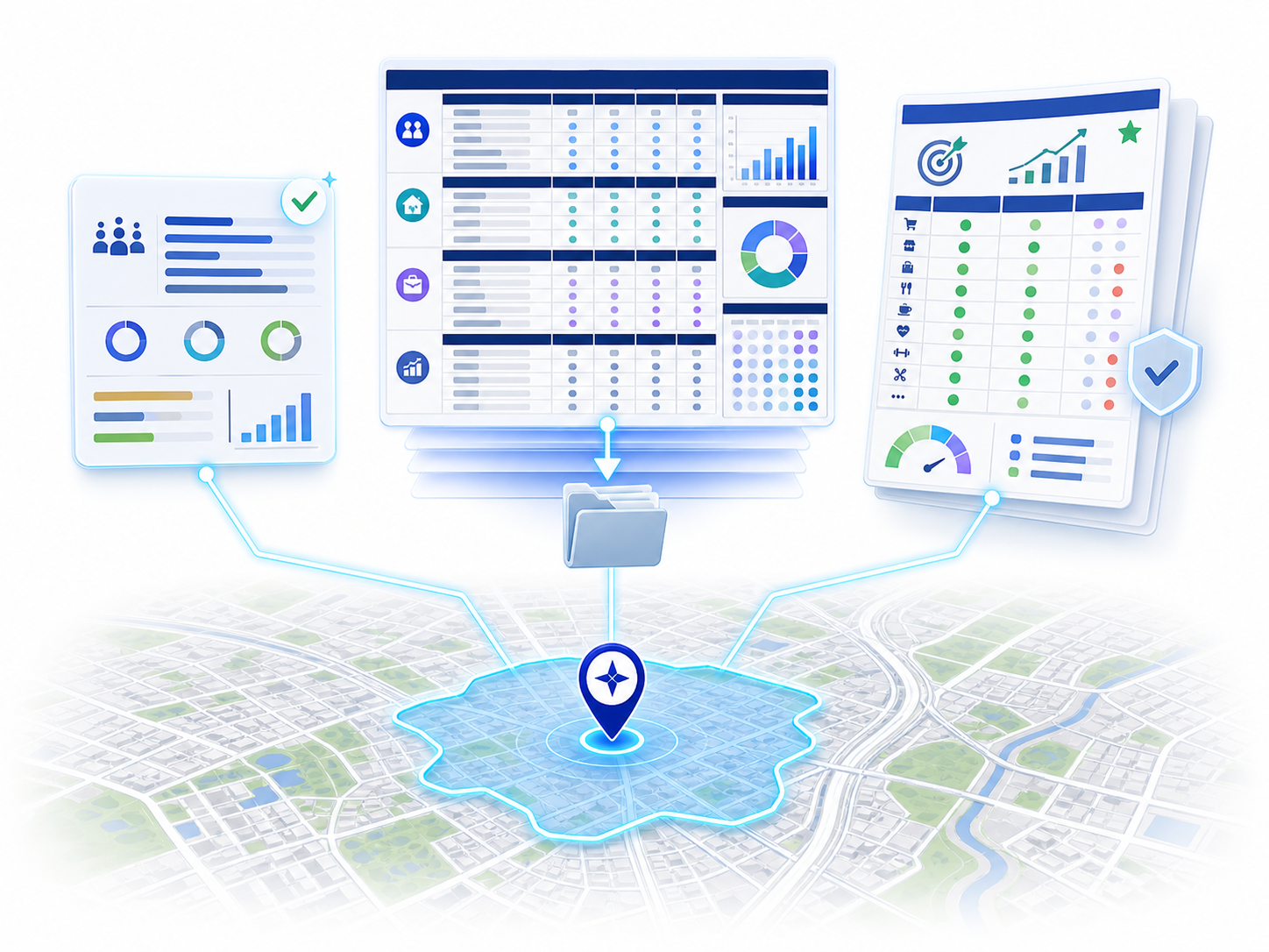
Generate and export reports
Every geoanalysis automatically generates a basic on-screen report with the area’s key data. You can also download more complete information in Excel and, depending on your license, access additional analyses such as the Business Opportunity Report.
MktCompass now includes AI
Don’t just look at data. Discover what it means.
The new generation of MktCompass combines GIS, proprietary models, and artificial intelligence to help you interpret information, compare alternatives, and turn territorial data into decision-making criteria.
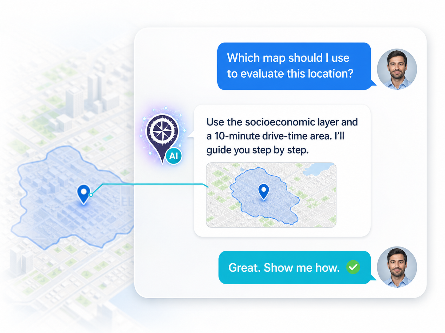
An AI assistant, expert in GIS
Inside MktCompass, you can consult an AI-powered assistant that answers questions about MktCompass, guides you in planning your studies, and helps you select the right maps, data, and tools for your analysis.
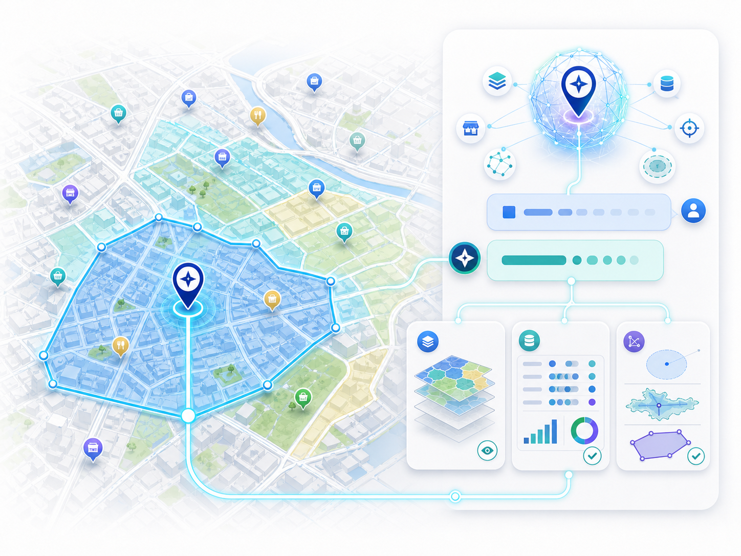
Identify where the greatest potential lies
AI-powered models let you compare different areas of a city while considering multiple market characteristics at once. This can help you prioritize areas for new locations, compare candidate sites, and detect areas with the greatest potential for consumer spending or sales, without having to review dozens of variables one by one.

Professional analyses powered by AI
Request in-depth analyses built with an AI trained in GIS and business, which integrates hundreds of data points for an area to identify findings, opportunities, risks, and recommendations. Learn about AI-powered analyses
Start using MktCompass!
Access a broad geographic database
MktCompass integrates demographic, economic, commercial, and territorial information from official sources, private sources, and proprietary models. Data is organized by country, state or region, and urban area, ready to be visualized directly on the map to make comparisons easier.
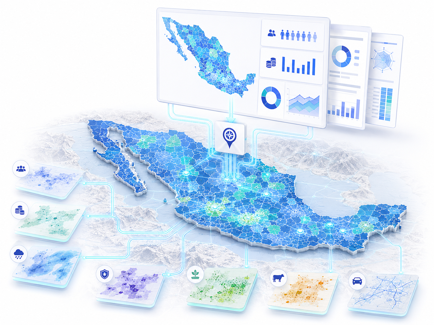
National and regional maps
Analyze municipalities in Mexico and counties in the United States to first understand the general environment: population, economy, and, depending on the map, variables such as climate, or crime.
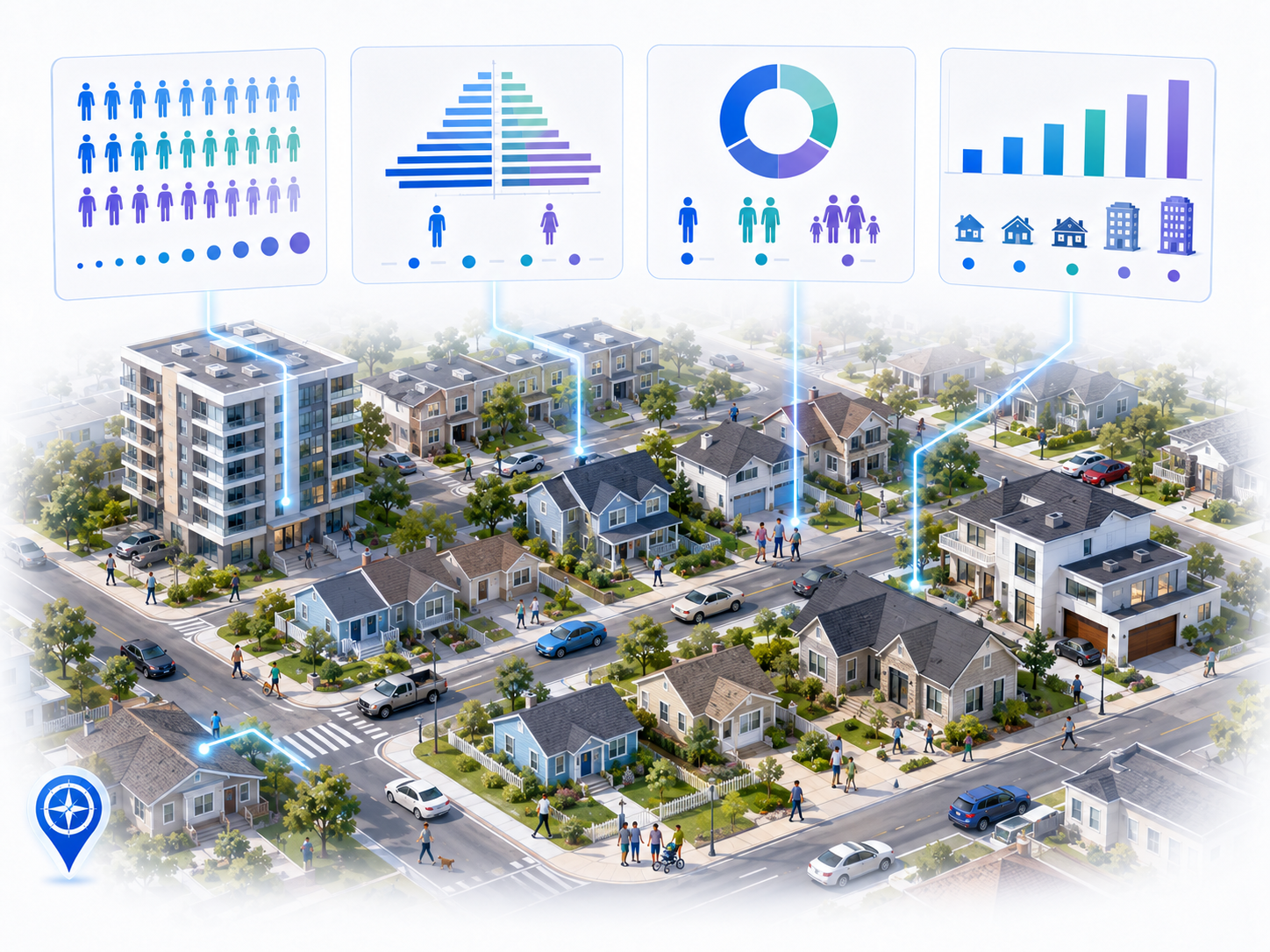
Demographics
Visualize total population, population density, growth, age, gender, race, and socioeconomic level. Many indicators can be analyzed as totals, proportions, or densities for a more accurate comparison between areas.
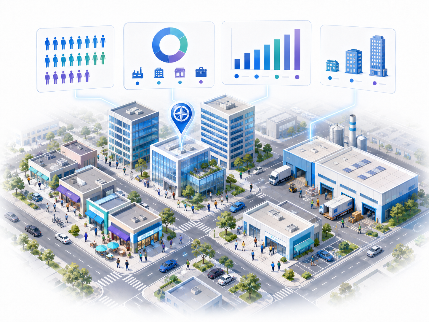
Economic activity
Find out where employment is concentrated and what type of economic activity predominates. MktCompass lets you map jobs by sector, as totals, relative values, or per area, as well as business establishments by sector and company size.
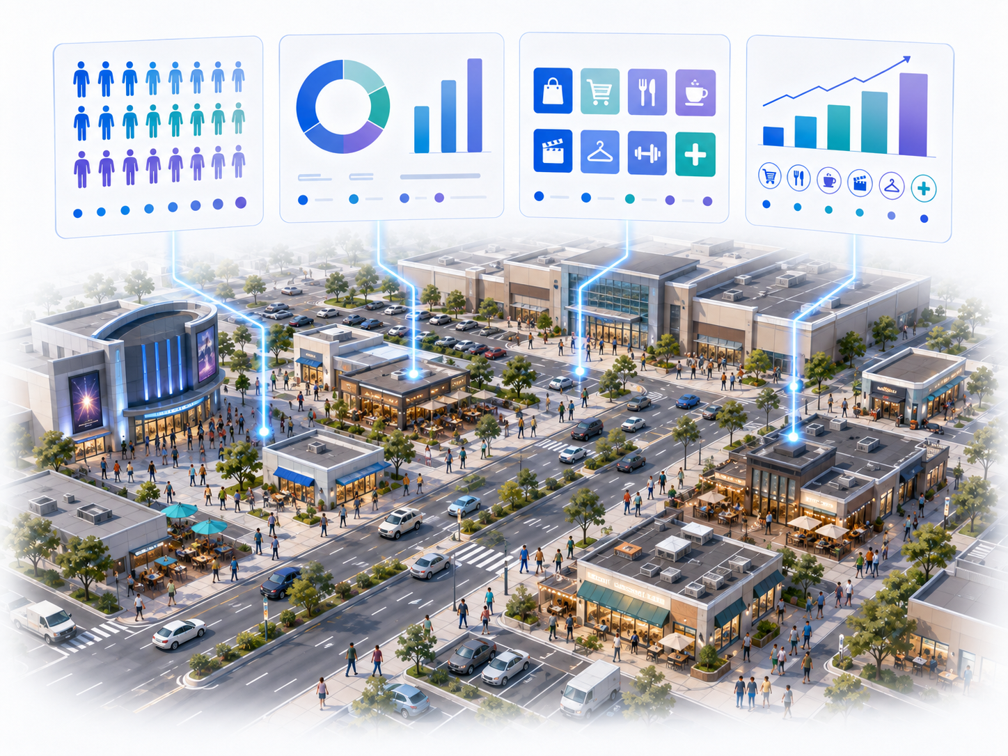
Commercial activity
Identify the areas with the greatest concentration of activity related to retail, services, entertainment, and other traffic generators. You can visualize it as a total value, relative to population or employment, and per unit of area.
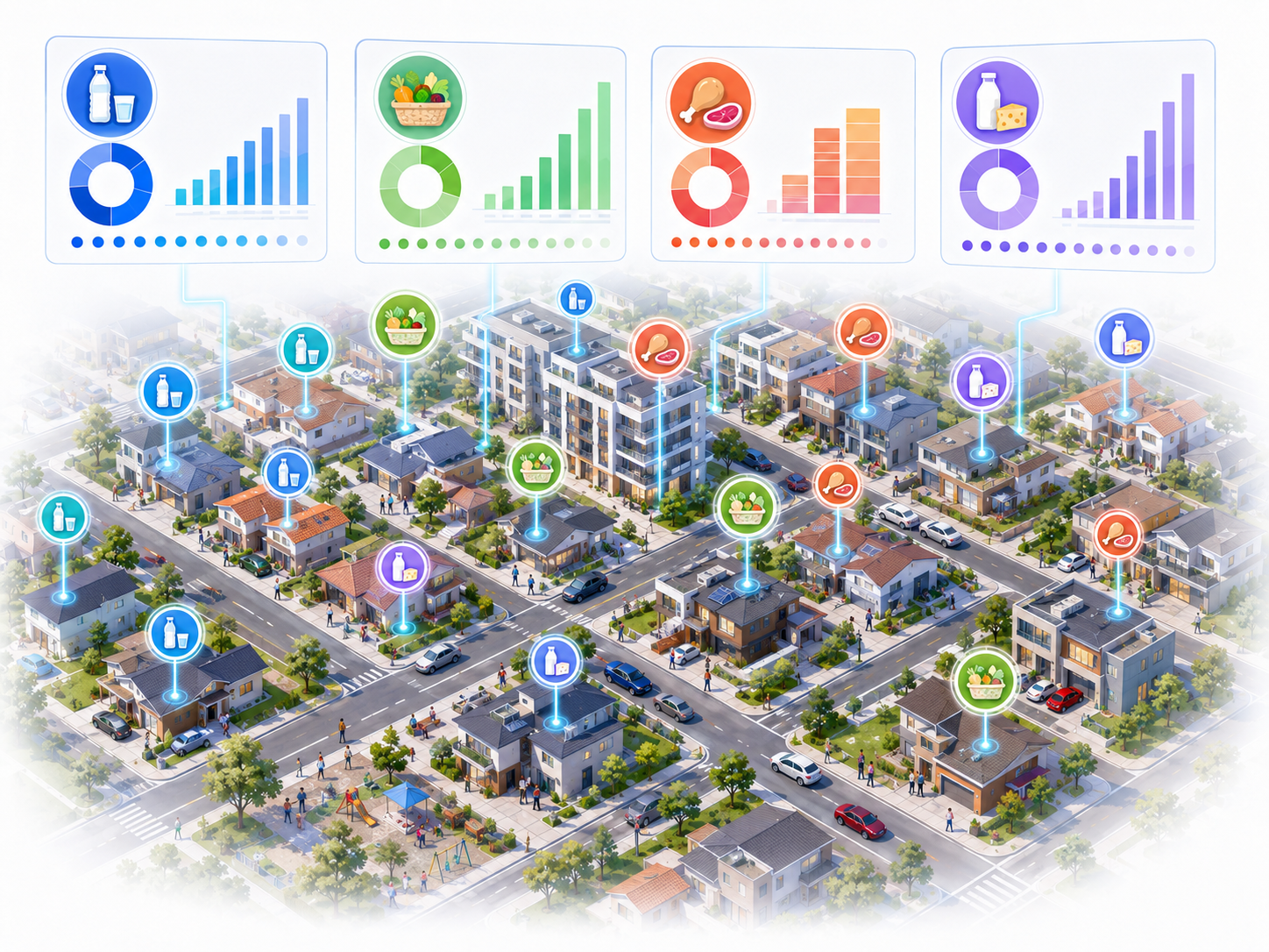
Household spending
MktCompass estimates how household spending is distributed across different consumer categories, taking into account socioeconomic level and the characteristics of each region. These indicators can be represented directly on urban maps.
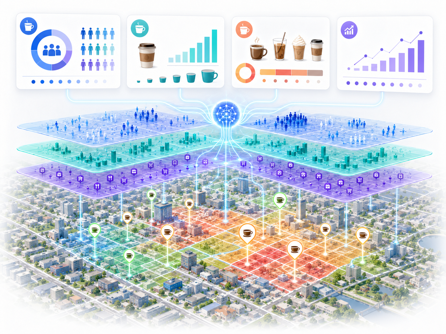
AI-estimated consumer potential
The new layers developed with artificial intelligence integrate multiple variables to estimate consumer potential for specific categories within a city. Instead of reviewing numerous indicators separately, you can visually identify the areas with greater or lesser potential.
Get MktCompass for free!
Geographic intelligence for business, research, and society
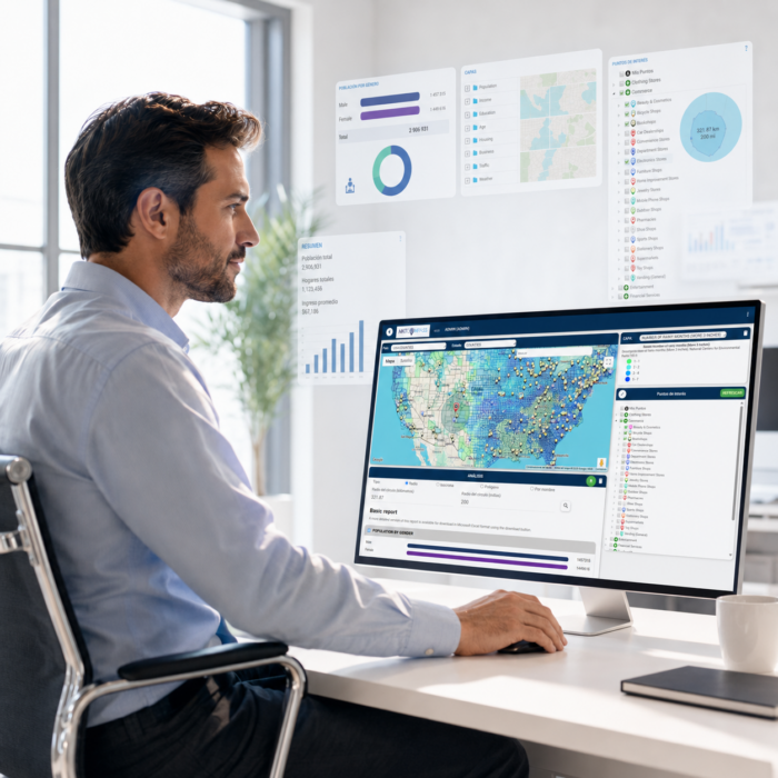
For GIS professionals and for those who have never used one
If you already work with GIS
MktCompass helps you save time by giving you direct access to databases that are already prepared, classified, and ready to analyze, so you don’t have to start every project from scratch.
If you’re not a GIS expert
You can take advantage of advanced geographic information through a visual interface, clear reports, and AI assistance.
You don’t need to become a GIS specialist to start using geographic intelligence in your decisions.
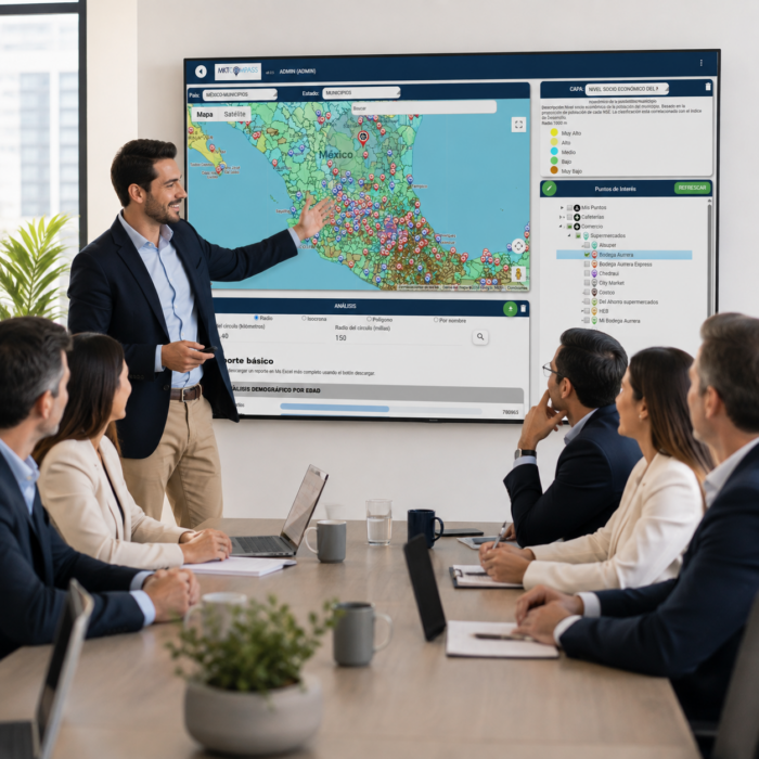
What can you use MktCompass for?
Expansion and site selection
Evaluate markets and compare areas for new branches, franchises, or points of sale.
Market research
Find out who lives and works around a location and what the market looks like.
Marketing and advertising
Identify where your audience is concentrated and improve the territorial planning of your campaigns.
Competition and coverage
Visualize where your competitors, brands, and related businesses are located.
Distribution and logistics
Analyze territories, coverage, and travel times.
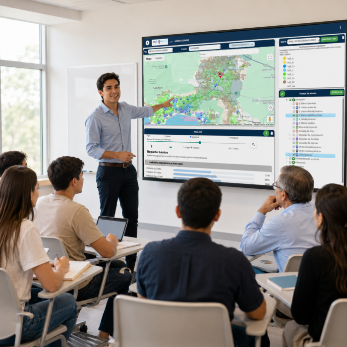
Public policy and social studies
Research, government, and social impact
Universities
Analyze population, economy, housing, employment, and territory for research, teaching, theses, and applied projects.
Public sector
Generate territorial assessments for urban planning, public policy, services, security, and regional development.
NGOs and social organizations
Identify priority populations and areas, analyze needs, and better plan the territorial coverage of social programs.
Start using MktCompass now!
Used by professionals, businesses, universities, and organizations to better understand the territory.

Carlos Clouthier
, KER3 Franchise Consulting
At Ker3, it has been very useful as we advise franchises on location selection and it is vital to have market information.

María Ana Tanori
, Caffenio
MktCompass helps us gain a better understanding of the market and locations, enabling us to choose the most favorable new locations for our coffee shops.

Miguel Avila
, Zensato
We use MktCompass in our consulting process to help our clients create their competitive strategy.

Héctor Estrada
, EG Marketing Research
MktCompass has amazing geodata that can’t be found this easy anywhere else.

Rogelio Garza
, YZA Drugstores
MktCompass is an essential tool in our process for choosing new markets and locations for our drugstores.